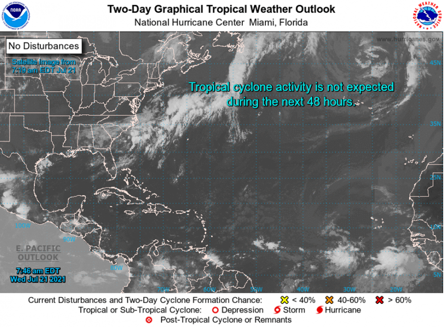


For Tropical North Atlantic Ocean, Caribbean Sea and Gulf of Mexico: Area of Special Interest: 10–20°N And 45–65°W
- Tropical wave: A tropical wave extends its axis along 51° W from 20° N southward, moving westward at 10 to 15 kt. Subsidence and dry air associated with the Saharan Air Layer surround most of the area of the wave. Scattered showers are noted from 10° N to 13° N between 46° W and 50° W. This wave could bring showers and thundershowers to the state of Grenada, tomorrow evening and night.
- Tropical wave: An Atlantic tropical wave extends its axis along 30° W and south of 21° N, moving west at 10 to 15 kt. Scattered moderate convection is noted where the wave meets the monsoon trough from 07° N to 11° N between 28° W and 34° W.
The Meteorological Service will continue to monitor these systems and provide updates in a timely manner.
Elsewhere, tropical cyclone formation is not expected during the next 2 days.
The next update will be issued at 2 pm.
Jason Robertson, Duty Forecaster
NOW Grenada is not responsible for the opinions, statements or media content presented by contributors. In case of abuse, click here to report.