


FOR TROPICAL NORTH ATLANTIC OCEAN, CARIBBEAN SEA, AND GULF OF MEXICO
AREA OF SPECIAL INTEREST: 10–20°N AND 40–65°W
Tropical Wave 1: The axis of a tropical wave is just east of Grenada near 61°W, south of 18°N. It is moving westward at 10 to 15 kt. Although there is no significant convection associated with this wave, its axis will cross Grenada today.
Tropical Wave 2: The axis of a tropical wave is near 53°W, south of 15°N, approximately 511 nautical miles east of Grenada. It is moving westward at around 15 kt. At its current speed, this wave is expected to traverse the southern Windward Islands early Thursday morning, bringing increased cloudiness and showery activity.
Tropical Wave 3: The axis of a tropical wave is near 41°W, south of 14°N, approximately 1215 nautical miles east of Grenada. It is moving west at 10 to 15 kt.
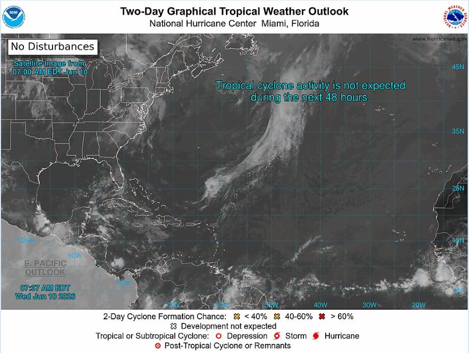
Tropical cyclone formation is not expected within the next 48 hours.
The next update will be issued at 2 pm.
Meteorological Services, MBIA
Grenada Airports Authority (GAA)