


The Meteorological Office is currently monitoring a very active westward-moving tropical wave, expected to cross Grenada tonight into tomorrow.
Synopsis:
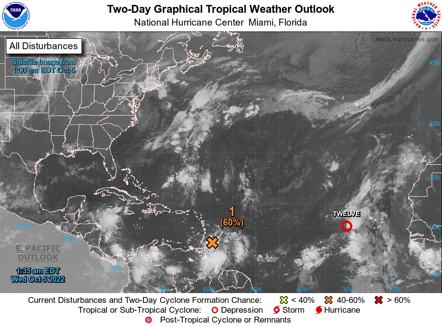
At 2 am broad area of low pressure located just east of the Windward Islands continues to produce a large area of showers and thunderstorms. Satellite-derived wind data and radar images from Barbados indicate that this system does not yet have a well-defined circulation centre. However, upper-level winds are forecast to become more conducive for development, and a tropical depression is likely to form over the next several days if the system remains over open waters while moving generally westward at about 15 mph through the Windward Islands and into the Caribbean Sea.
An Air Force reconnaissance mission is scheduled to investigate the system this morning, if necessary. Regardless of development, heavy rainfall with localised flooding, as well as gusty winds to gale force, are expected over portions of the Windward Islands, northern portions of South America, and the ABC Islands during the next couple of days. Interests in those locations, in addition to those in Central America, should continue to monitor the progress of this system. Formation chance through 48 hours…medium…60%. Formation chance through 5 days…high…80%.
Forecast for the State of Grenada: Cloudy to overcast conditions are expected with brief to widespread showers, which could be heavy at times, with thunderstorms and gusty winds tonight into tomorrow. The meteorological office continues to monitor the progress of this wave as it propagates westward.
A marine advisory is also in effect.
Potential Impacts:
- Flash flooding
- Landslides and rockfall
- Street and river flooding
- Agitated seas
Andre Charles, Duty Forecaster