


For Tropical North Atlantic Ocean, Caribbean Sea and Gulf of Mexico
AREA OF SPECIAL INTEREST: 10 – 20 °N AND 45 – 65 °W
Tropical Wave
An eastern Caribbean tropical wave has an axis along 63°W/64°W from 22°N southward to northern Venezuela, approximately 90 nm E of Grenada. The wave is moving W at 15 to 20 kt. A surface trough is north of the tropical wave from 22°N 61°W to 28°N 56°W. Scattered moderate convection is noted in the eastern Caribbean from 12°N to 16°N between 61°W and 66°W. Numerous moderate to isolated strong convection is noted across the northern portion of the wave and the surface trough from 17°N to 28°N between 52°W and 62°W.
Model analysis and satellite imagery indicate that this wave will produce partly cloudy to cloudy conditions with light to moderate showers and a low chance of isolated thunderstorms throughout the Windward Islands. There is also a low chance of flashfloods/and or landslides in vulnerable areas if thunderstorm activities do occur. Currently, St Vincent is experiencing the bulk of the convective activity.
The Meteorological Service will continue to closely monitor the progress of this wave and provide updates in a timely manner if necessary.
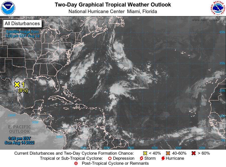
Elsewhere, tropical cyclone formation is not expected during the next 2 days.
The next update will be issued at 8 pm.
Eugine Whint, Duty Forecaster