


For Tropical North Atlantic Ocean, Caribbean Sea and Gulf of Mexico
AREA OF SPECIAL INTEREST: 10 – 20 °N AND 45 – 65 °W
Tropical Wave #1
A central Atlantic tropical wave has its axis along 47°W, extending south of 21°N to 05°N, 850 nautical miles (nm) east of Grenada. It is moving westward at 15 kt. Scattered moderate to isolated strong convection is noted within 180 nm east of the wave from 09°N to 12°N. Based on its forward speed and model projections, the axis of this wave should traverse the island chain on Tuesday night into Wednesday morning; inducing cloudiness and showery activity with a low chance of lightning and thunder if environmental conditions remain favourable.
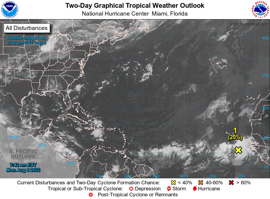
Disturbance 1
A large area of disorganised showers and thunderstorms over the far eastern tropical Atlantic south of the Cabo Verde islands is associated with a tropical wave. Environmental conditions appear generally conducive for gradual development of this system while it moves westward to west-northwestward at 15 to 20 mph across the eastern and central tropical Atlantic, and a tropical depression could form around the middle to the latter part of this week. Formation chance through 48 hours, low, 20%. Formation chance through 5 days, medium, 40%.
The Meteorological Service will continue to monitor the progress of these systems and provide updates in a timely manner.
Elsewhere, tropical cyclone formation is not expected during the next 2 days.
The next update will be issued at 2 pm.
Eugine Whint, Duty Forecaster