


For Tropical North Atlantic Ocean, Caribbean Sea and Gulf of Mexico
AREA OF SPECIAL INTEREST: 10 – 20 °N AND 45 – 65 °W
Tropical Wave: A central Atlantic tropical wave has its axis near 56°West, extending south 21°N to inland Suriname near 04°N, 580 nautical miles (nm) east of Grenada. It is moving westward at 10-15 kt. Scattered moderate to isolated strong convection is occurring from 07°N to 12°N between 50°W-58°W.
At its current speed, the axis of this wave should traverse Grenada late Thursday night into Friday, bringing mostly cloudy conditions late Thursday into Friday with light to moderate showers. There is also a low chance of lightning and thunder.
Therefore, the Meteorological Office has issued an advisory for a low chance of flooding and/or landslides in vulnerable areas for Friday morning.
The Meteorological Service will continue to monitor these systems and provide updates in a timely manner.
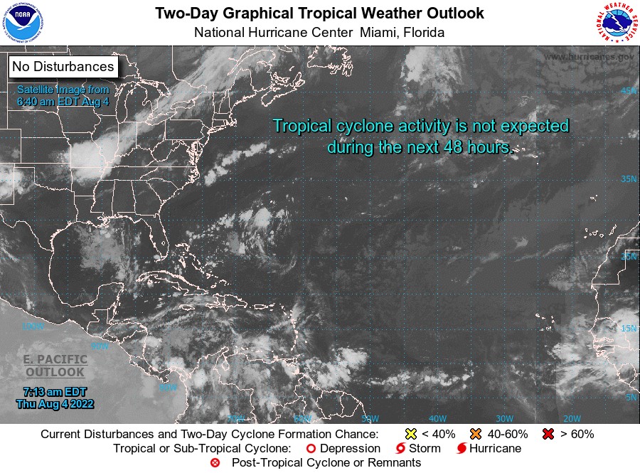
Elsewhere, tropical cyclone formation is not expected during the next 2 days.
The next update will be issued at 2 pm.
Andre Charles, Duty Forecaster