


FOR TROPICAL NORTH ATLANTIC OCEAN, CARIBBEAN SEA, AND GULF OF MEXICO AREA OF SPECIAL INTEREST: 10–20°N AND 45–65°W

Tropical Wave: The first tropical wave of the upcoming hurricane season has been analysed from 13°N southward along 43°W. This wave is now moving west at 15 to 20 knots. Scattered moderate isolated to isolated strong convection is observed from 03°N to 10°N between 38°W and 48°W. Model guidance suggests that this wave can begin affecting Grenada on Saturday with moisture trailing its axis into Sunday. This may trigger occasionally cloudy periods with scattered showers at times.
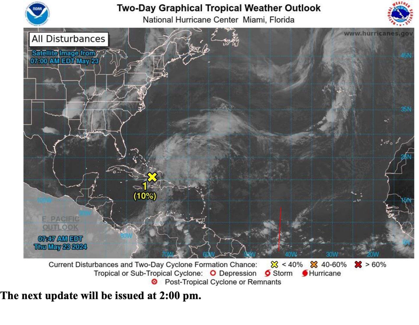
Surface Trough: A large area of cloudiness and showers over the southwestern Atlantic is associated with a surface trough. An area of low pressure is expected to form within this system a few hundred miles north of Hispaniola in the next day or so. Environmental conditions are not expected to be conducive, however, some slight tropical or subtropical development is possible while the low moves northeastward through the weekend. This trough has a low chance, 10%, of becoming a tropical cyclone within the next 48 hours.
The Met Office will continue to monitor this system and provide updates in a timely manner.
The next update will be at 2 pm.
Fimber Frank
Duty Forecaster