


St George’s, Grenada – Saturday, 29 June 2024, 8:30 a.m.

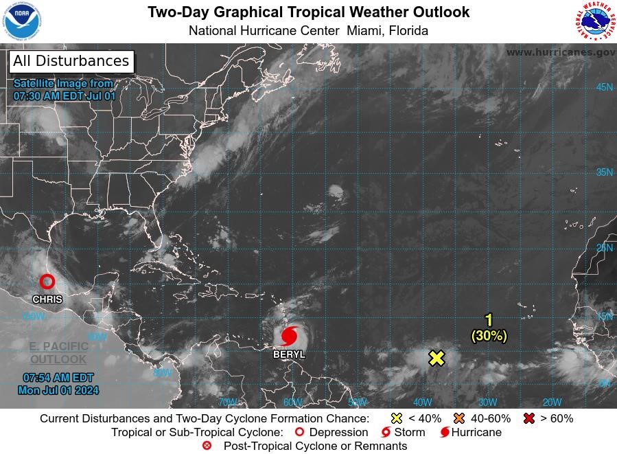
At 11 pm on Friday, 28 June, the National Hurricane Centre upgraded Tropical Depression # 2 to Tropical Storm Beryl.
At 5 am, the centre of Tropical Storm Beryl was located near latitude 9.8 North, longitude 45.5 West. Beryl is moving toward the west near 21 mph. A relatively quick westward to west-northwestward motion is expected during the next few days.
On the forecast track, the system is expected to move across the Windward Islands late Sunday night and Monday. Maximum sustained winds have increased to near 50 mph with higher gusts. Additional steady to rapid strengthening is expected during the next couple of days, and Beryl is expected to become a hurricane tonight or Sunday. Tropical-storm-force winds extend outward up to 45 miles from the centre. The estimated minimum central pressure is 1001 mb.
Watches and warnings are expected to be posted later on Saturday.
The Meteorological Office and the National Disaster Management Agency (NaDMA) will continue to monitor Tropical Storm Beryl and provide information on potential impacts.
The following are some preparedness actions that you should take:
- Update your family disaster plan.
- Have a Disaster supplies kit (3-day supply of non-perishable food, water, medication, flashlights, etc.)
- Trim overhanging trees and branches.
- Clear guttering and drains.
- Know where the nearest Emergency Shelters are located.
The public is also encouraged to follow the advisories and forecasts issued by the Meteorological Office and NaDMA.
For additional information, contact Ruth Jacob-Roberts, Public Information Officer at NaDMA 440-8390-4: cell 533-0766, or email: [email protected] and [email protected].
NaDMA is the official source for all disaster-related information in Grenada.