


FOR TROPICAL NORTH ATLANTIC OCEAN, CARIBBEAN SEA, AND GULF OF MEXICO AREA OF SPECIAL INTEREST: 10–20°N AND 45–65°W

Tropical Wave: A central Atlantic tropical wave is near 45°W from 11 °N southward at 943 nautical miles east of Grenada and moving westward at 15 to 20 kt. Widely scattered moderate convection is noted from 05°N to 11°N between 39°W and 47°W. Based on its forward speed, the axis of this wave is expected to cross the Lesser Antilles on Sunday into Monday. Model guidance indicates a surge in moisture and potential for showery activity on Sunday night into Monday.
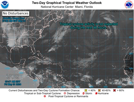
The Met Office will continue to monitor this tropical wave. Tropical cyclone formation is not expected during the next 7 days.
The next update will be issued at 2 pm.
Andre Charles
Duty Forecaster